
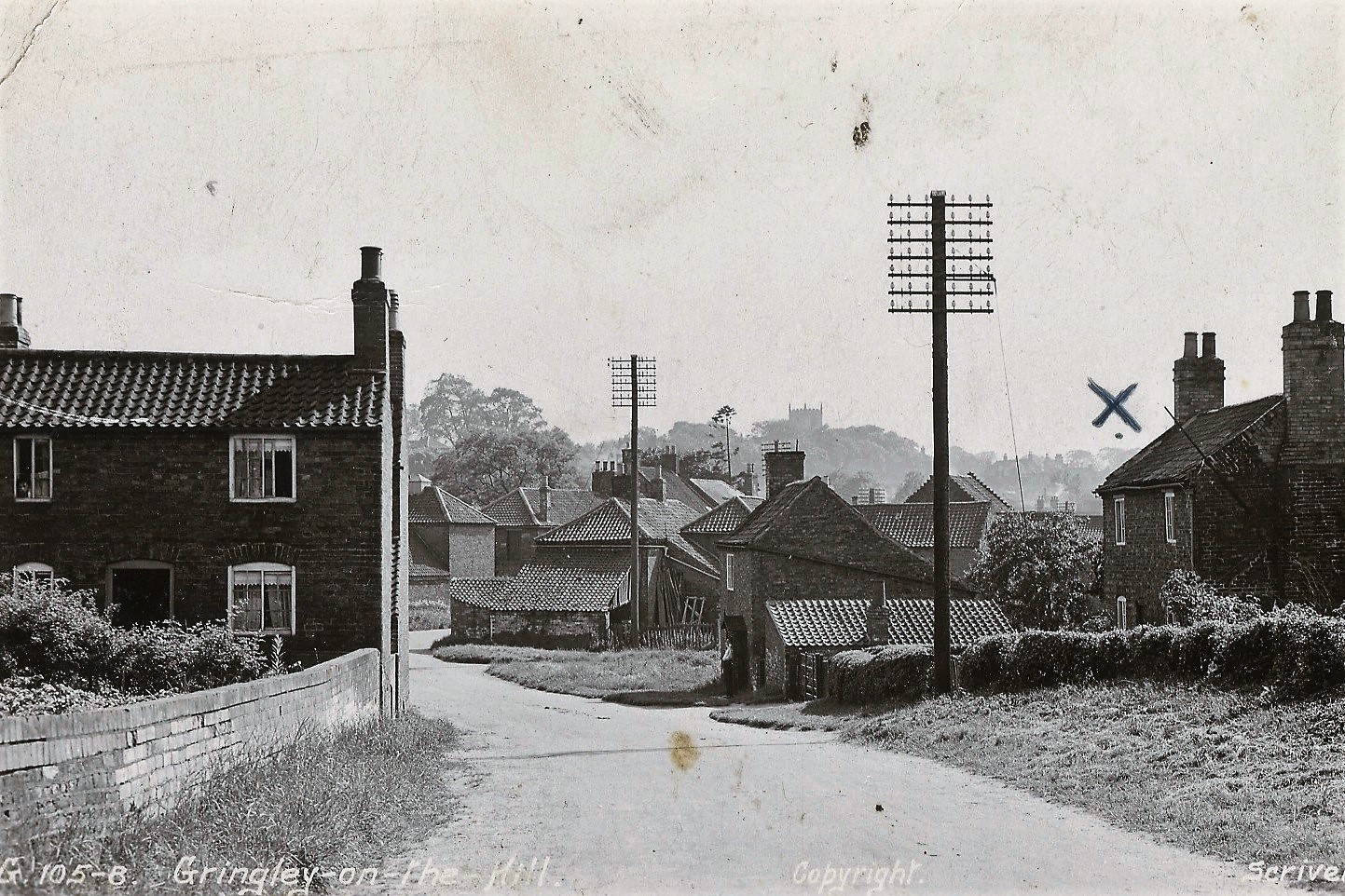
Streets, Lanes, Roads and Avenues
Below are a few photograps from the archive. If you notice any errors, or have any photos you would like to share we would love to hear from you.
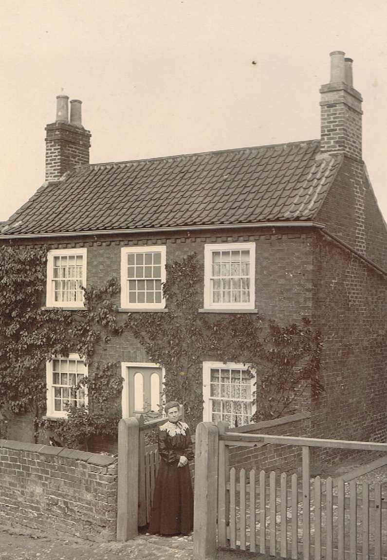
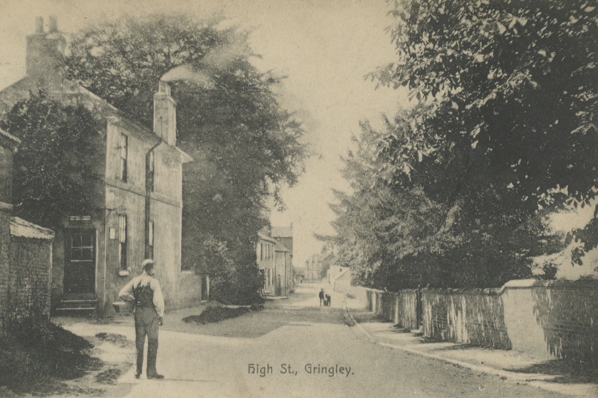
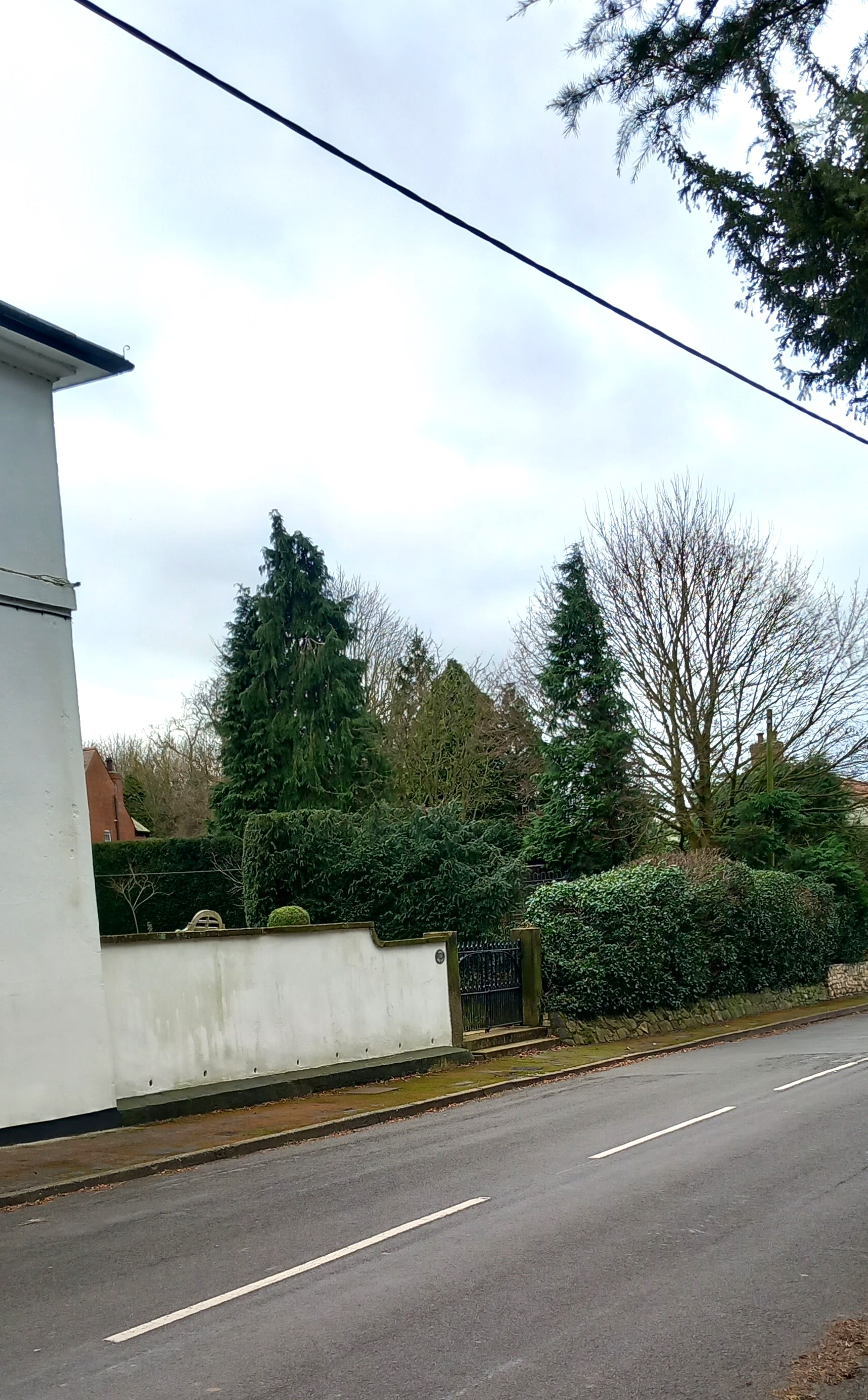
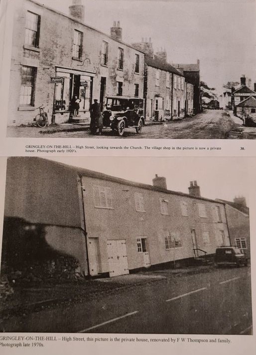
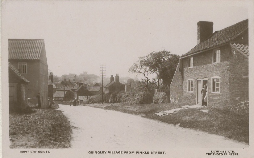
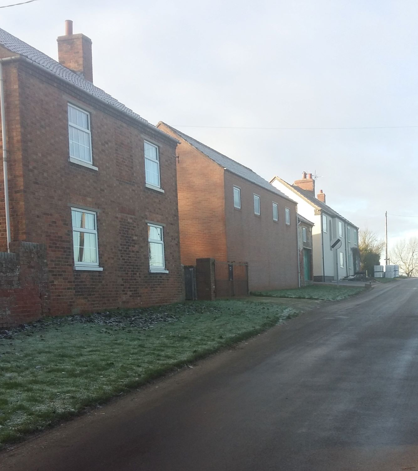
HIGH STREET
![]()
Beacon end of High Street. (The houses here have all gone now)
![]()
Similar view as above, 2020
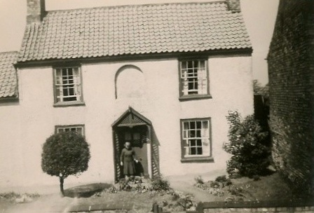
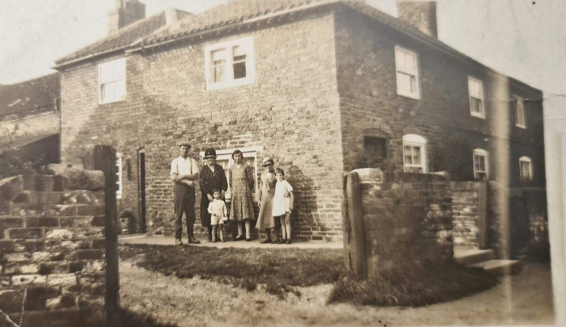
1949. Marglen
William Clark and Clara Clark lived at Marglen from 1927 until sometime in the 1950s.
"William Clark returned from India on a ship called 'Marglen' - the house was named after this ship"
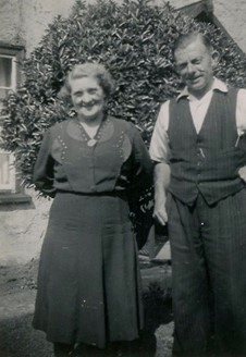
William and Clara Clark at Marglen, 1954
Our thanks to Margaret Hollingsworth for the photos and information

1891. Bank End
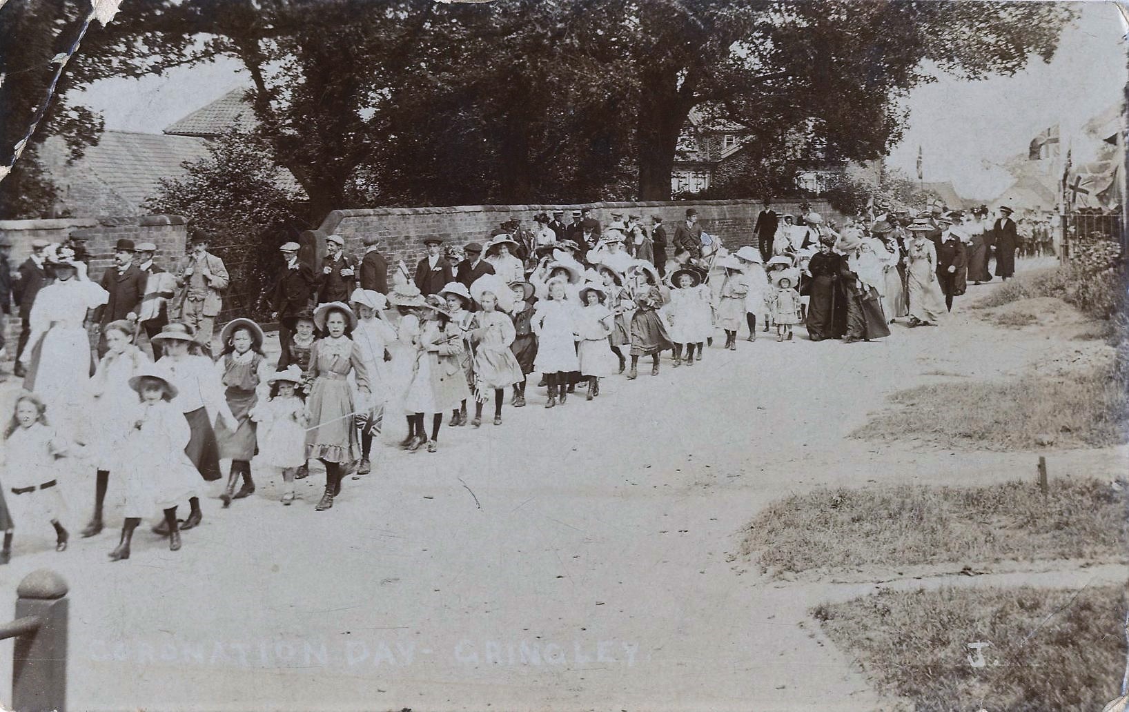
1911. Coronation, 'children marching' (outside Ravenhill)
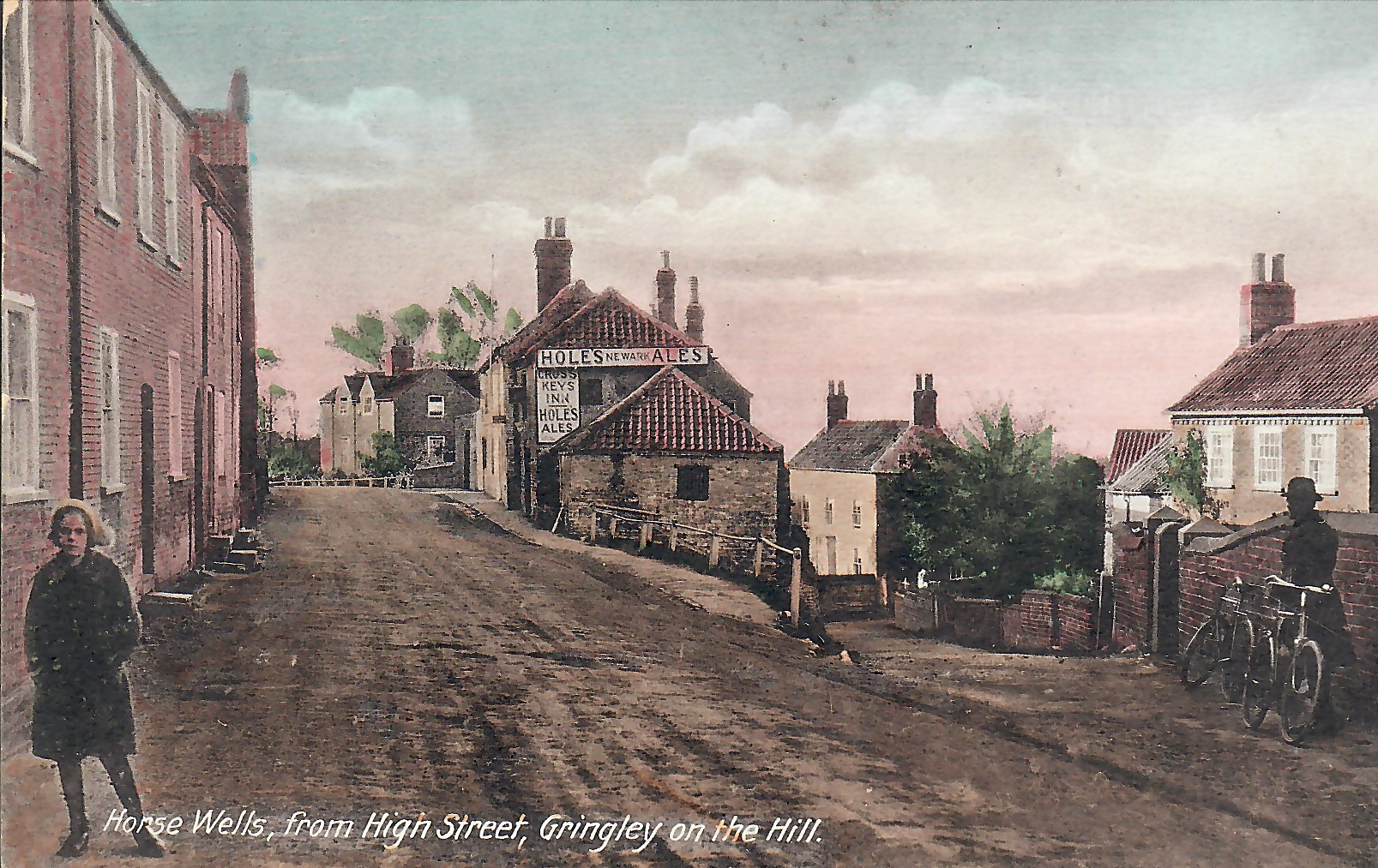
High Street and the old Cross Keys pub

Saddlers Cottage
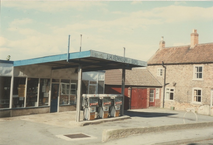
Rennisons Garage (now Buttercross Cottage, opposite the church). In later years the garage and petrol station also accommodated a Spar Shop
1910. Hannah Horsley outside Holly Dene
Outside North/South Beeches (left)
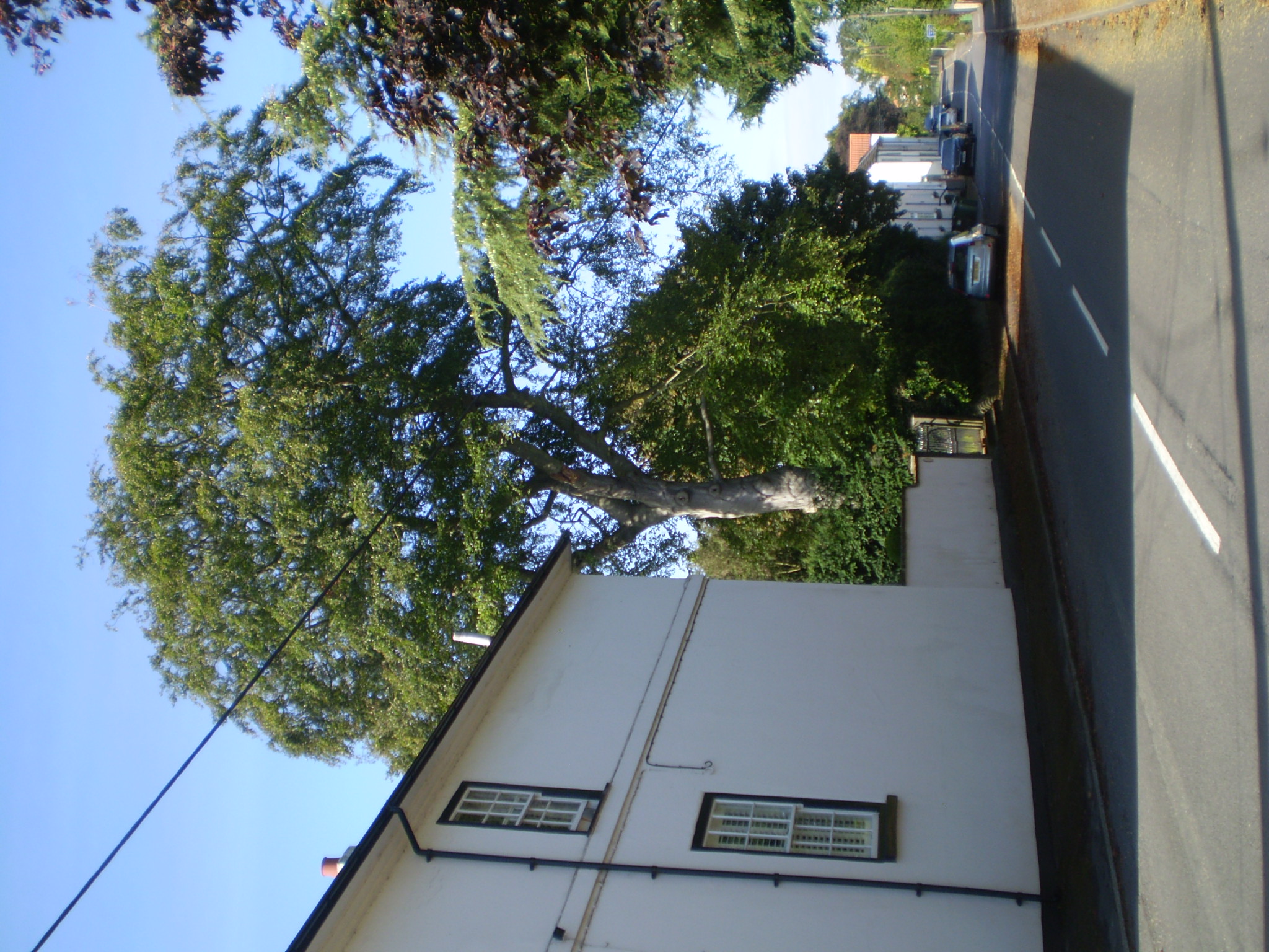
The beech tree at North Beeches before it is felled, 2023
And there it is, gone . . .

Sophia Gill outside her son's house, Kippax Cottage
~~~~~~~~~~
Ivy Dene and North View
Ivy Dene and North View were once owned by the same family. Ivy Dene is the older property. In 1869 Joseph Wall and his wife Mary sold to Thomas Olivant. The dwelling house (divided into two) with the grocers shop, warehouse and outbuildings. There is a suggestion that Mary Wall ran a drapers shop from her property. We understand North View was once a school.
~~~~~~~~~~
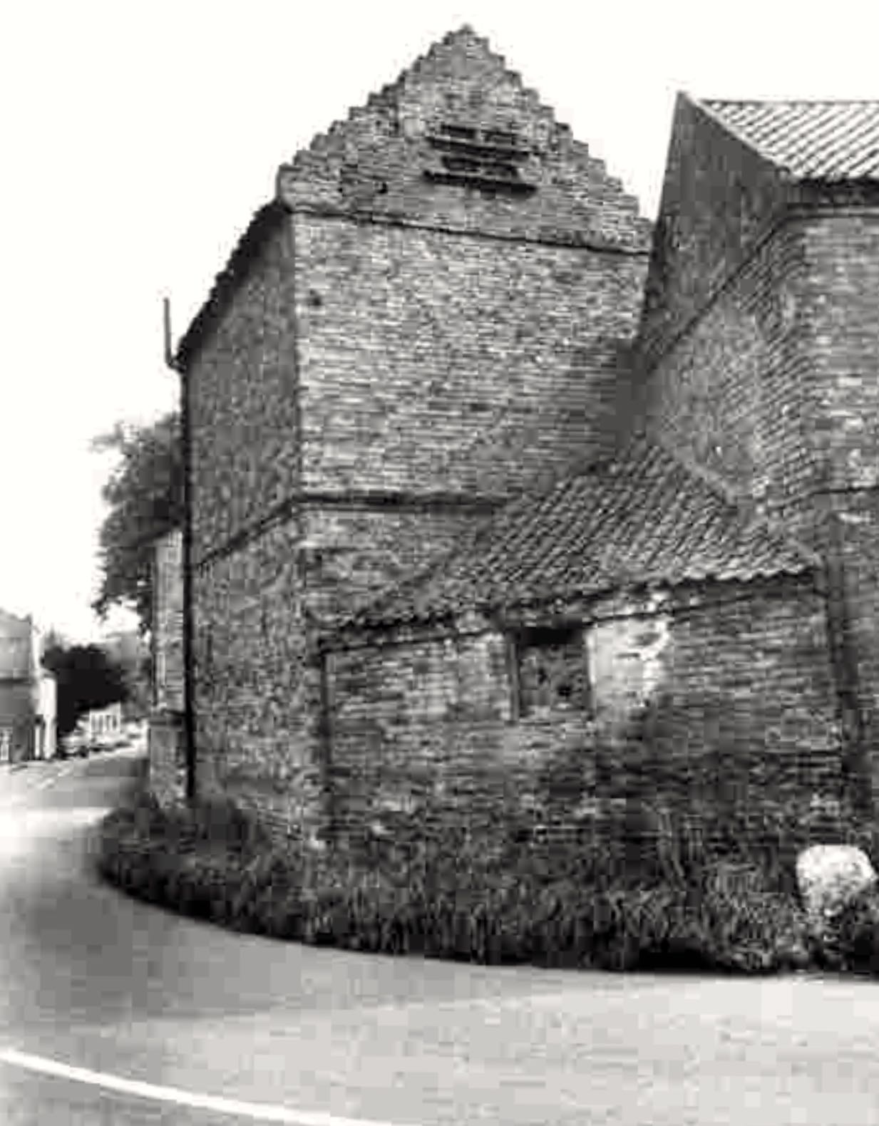
The Old Coach House before renovation, High Street/Cross Hill corner, 1981
Two photos of Ridgewood House,
top 1920s, below 1970s
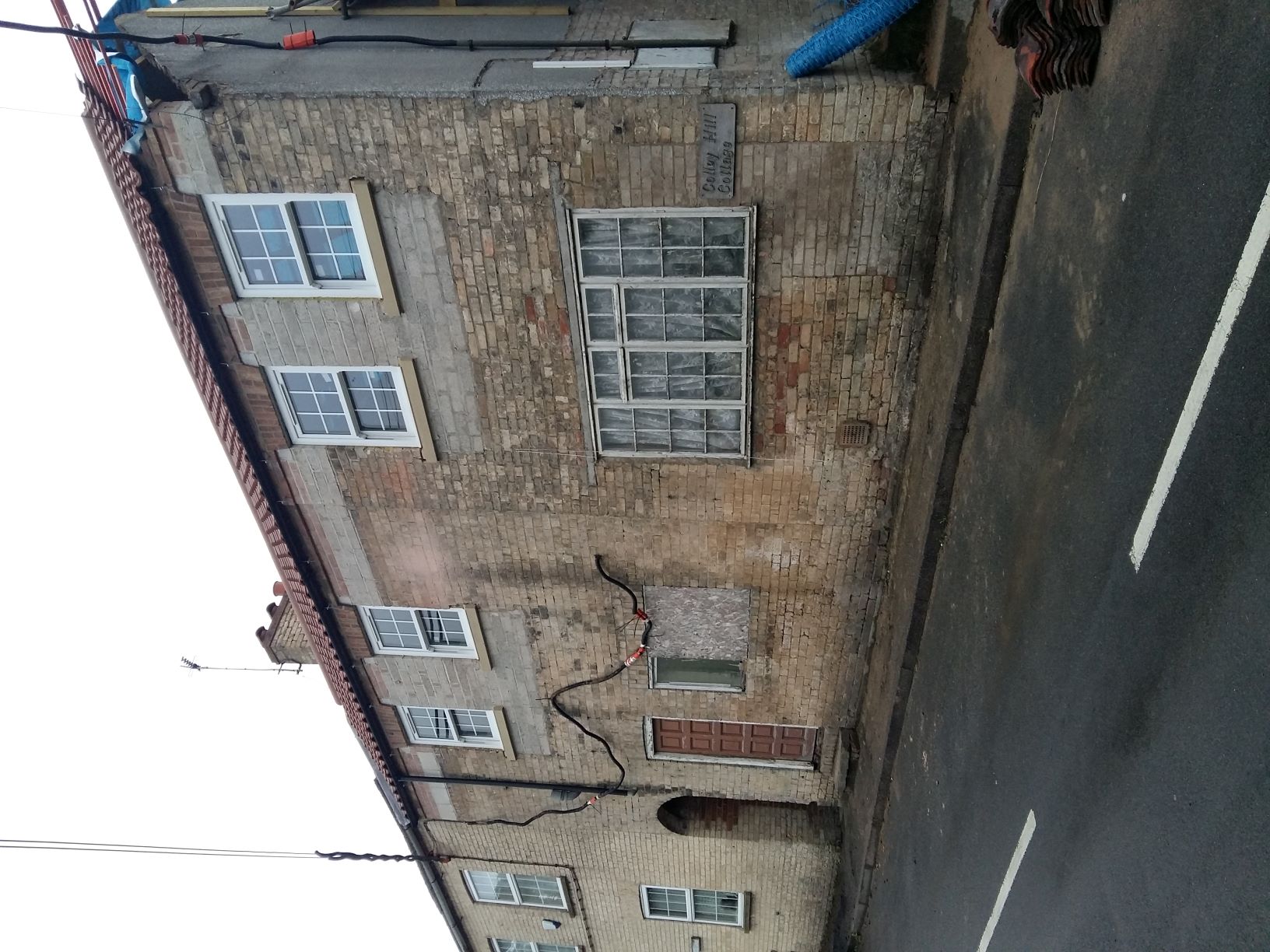
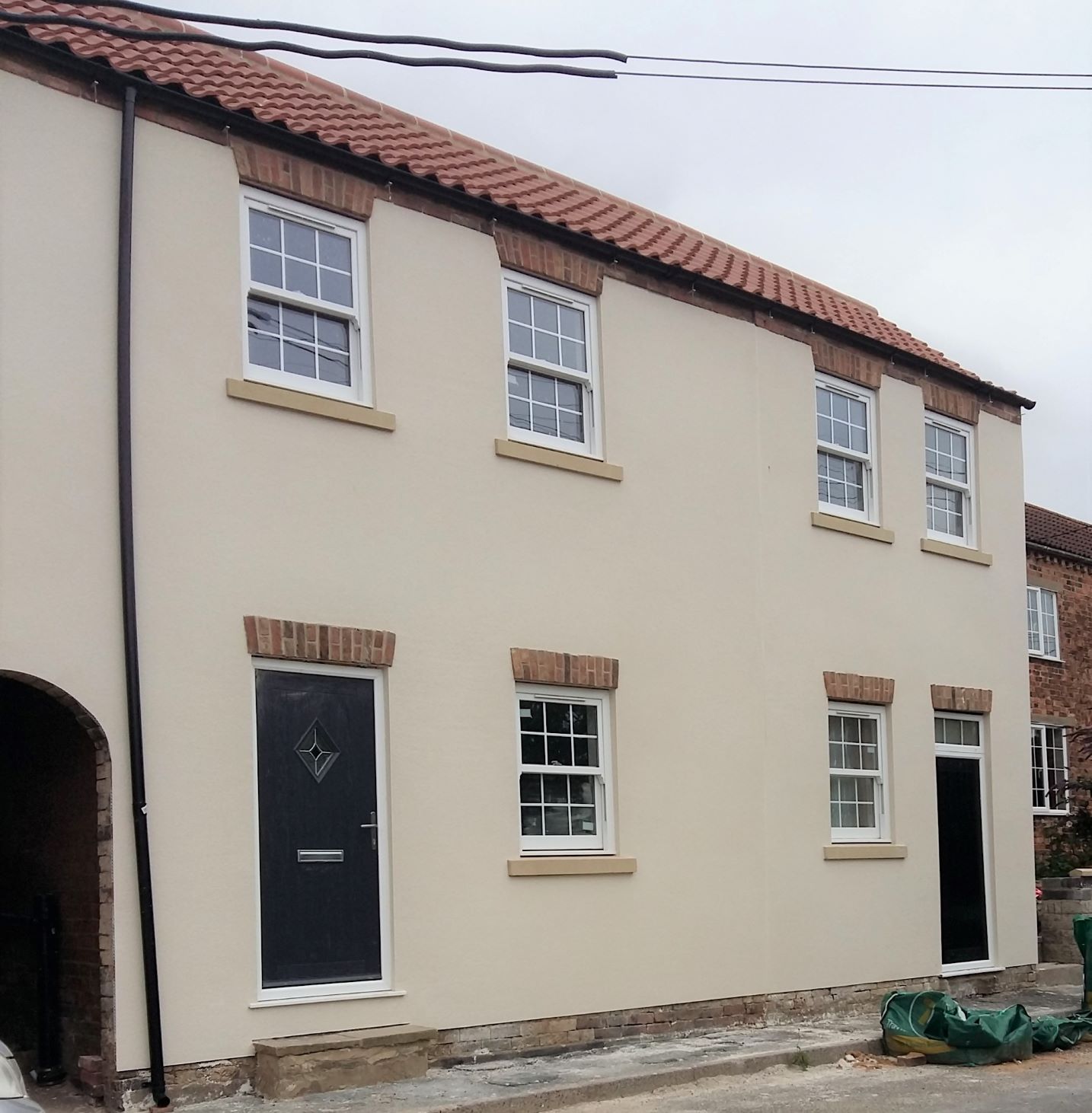
2020. Colley Cottage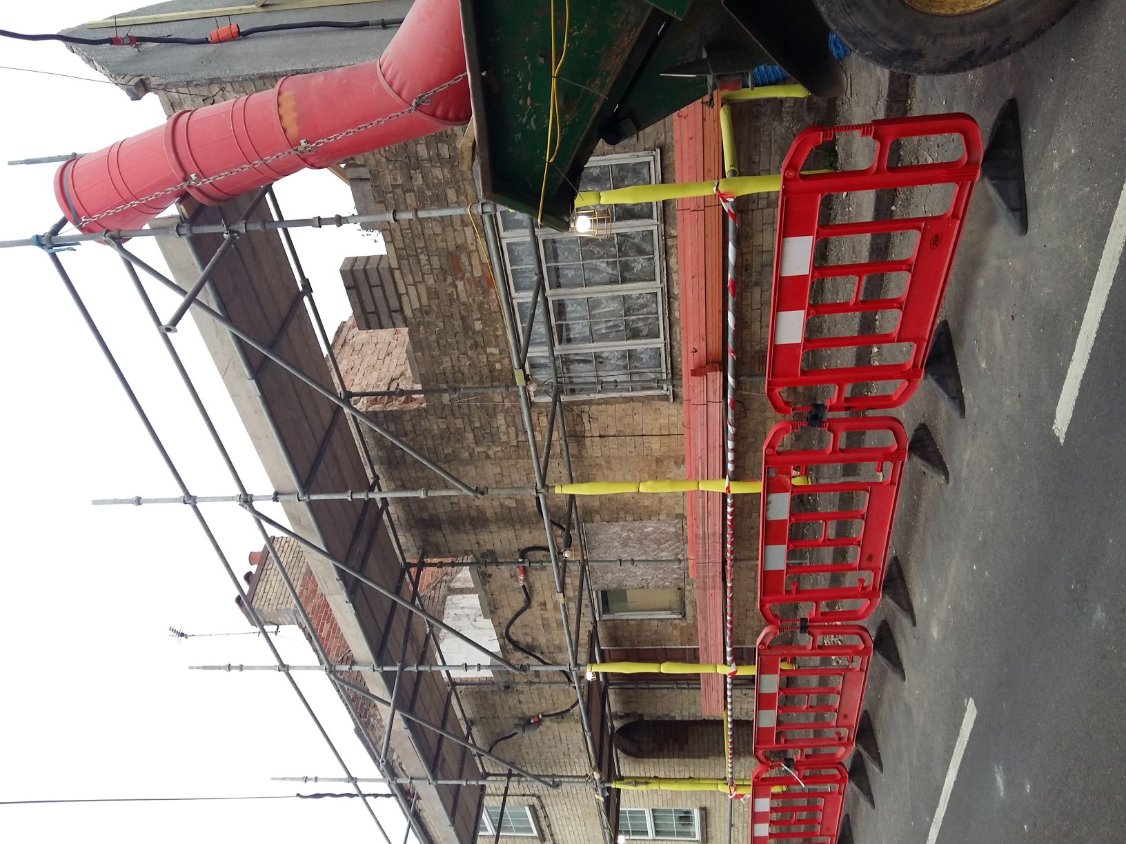
August 2021
CROSS HILL

Acorn House (once Whaley's Bakers)
& Trust Cottage (once Cross Hill Stores)
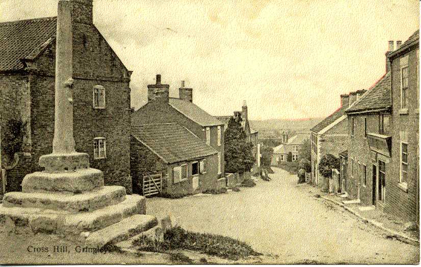
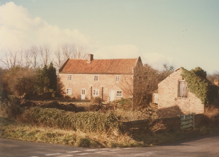
Cross Hill. C1905
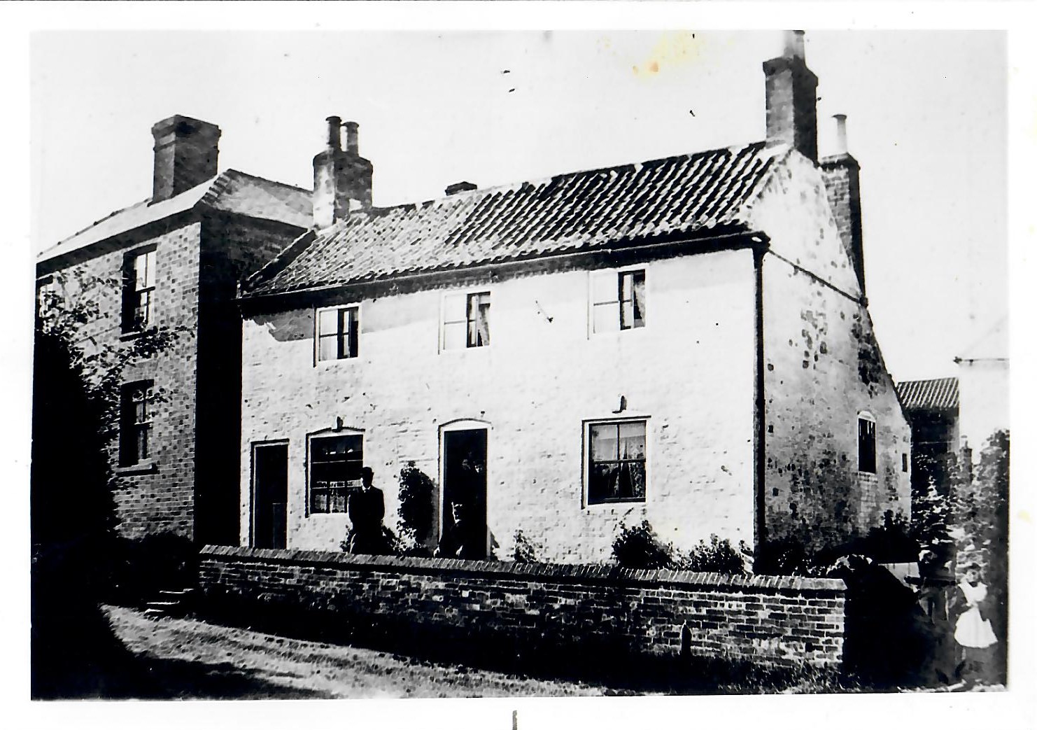
Lyndale, Cross Hill
Standing in front of the house is Joseph Wilkinson who was born there in 1839, the youngest son of Catherine and Elisha Wilkinson.
The original photograph was taken in September 1895. Lyndale is reputed to be one of the oldest properties in the village, C1780-1790?
Next to Lyndale is a piece of raised land which once housed the Reading Room. This was used by men of the village to read newspapers and play games etc. There was also a cottage and a well here, (for more informaiton see Doris Parker's description of the site go to 'Articles' where you will see an item 'Beech Family and Beech Close').

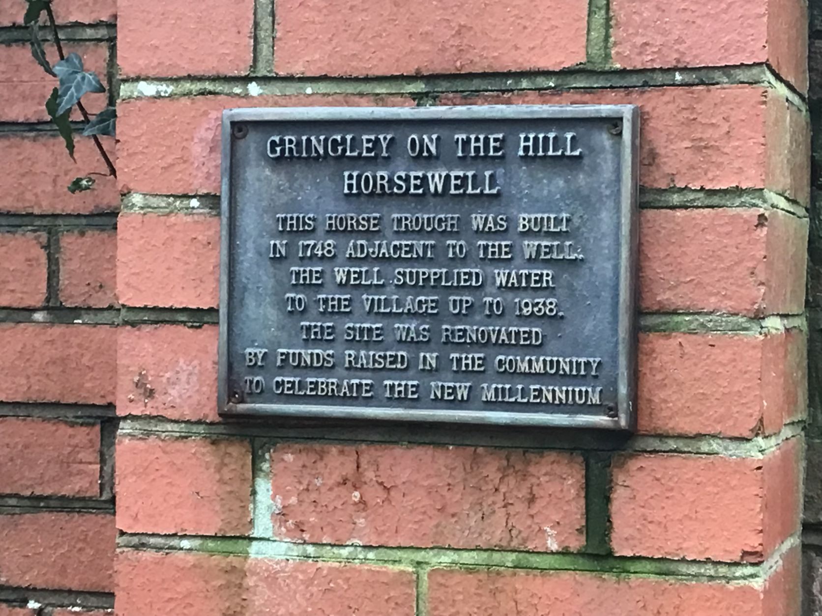
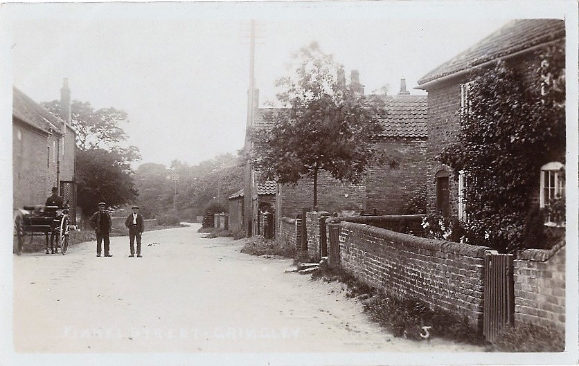
HORSEWELLS STREET
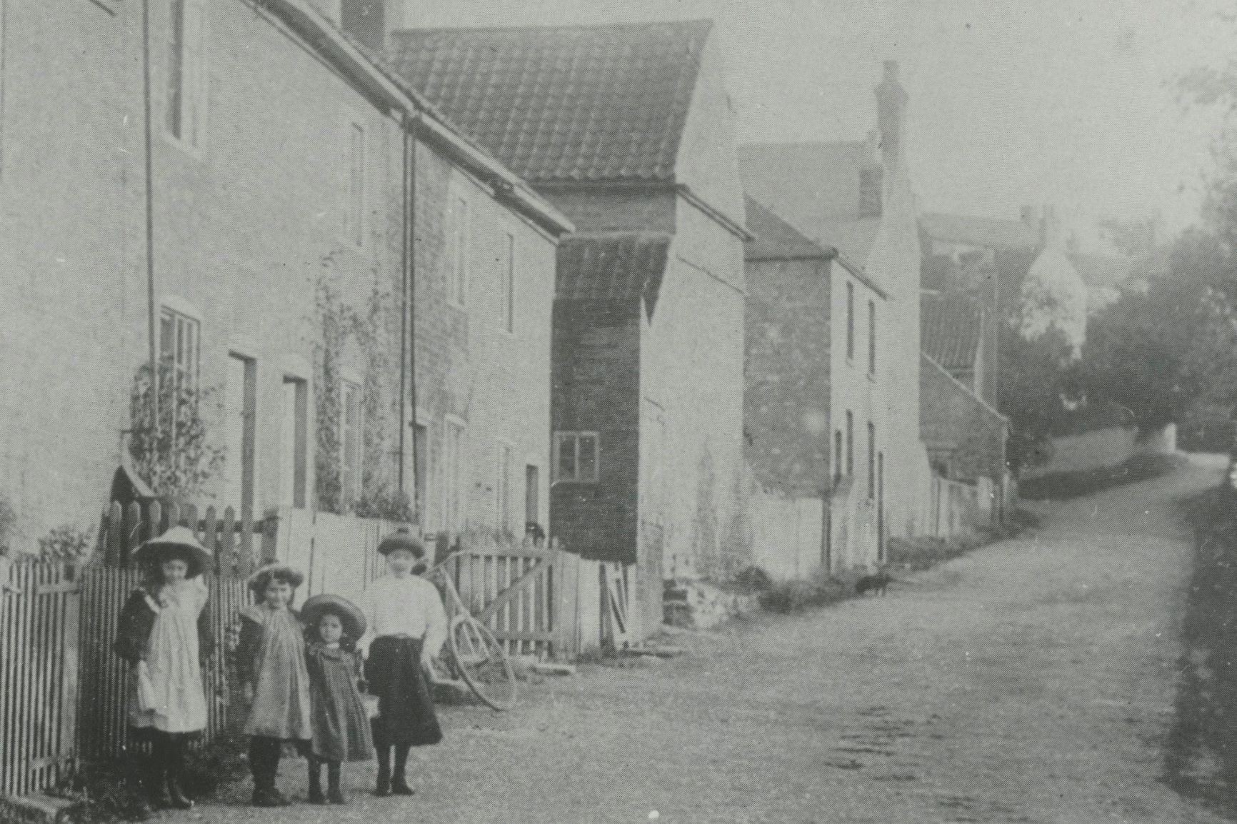
C1910 ?
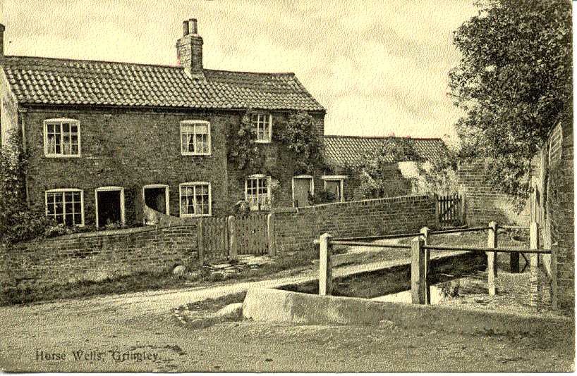
C1905. The Horse Well and cottages
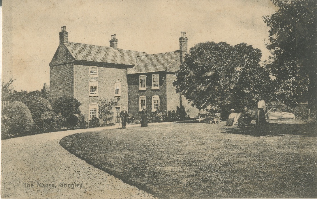
The Manse, now The Homestead (corner of Finkell Street and Horsewells Street)
LOW STREET
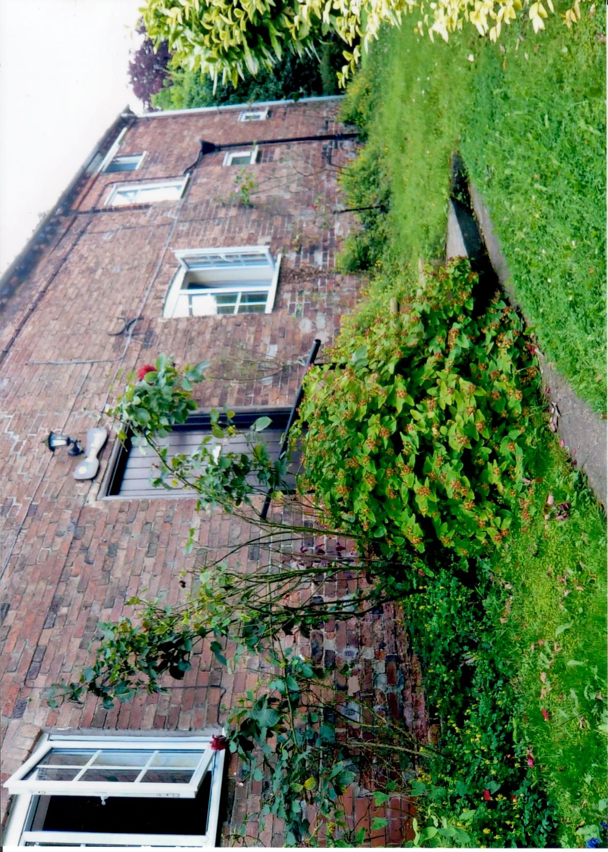
Rosebank
Before renovation and extension
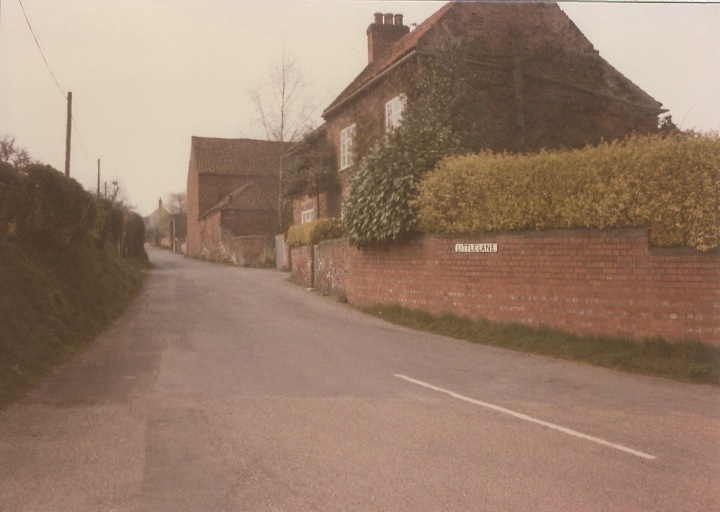
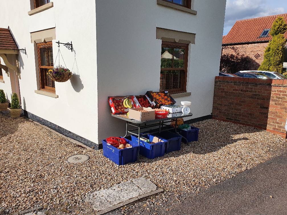
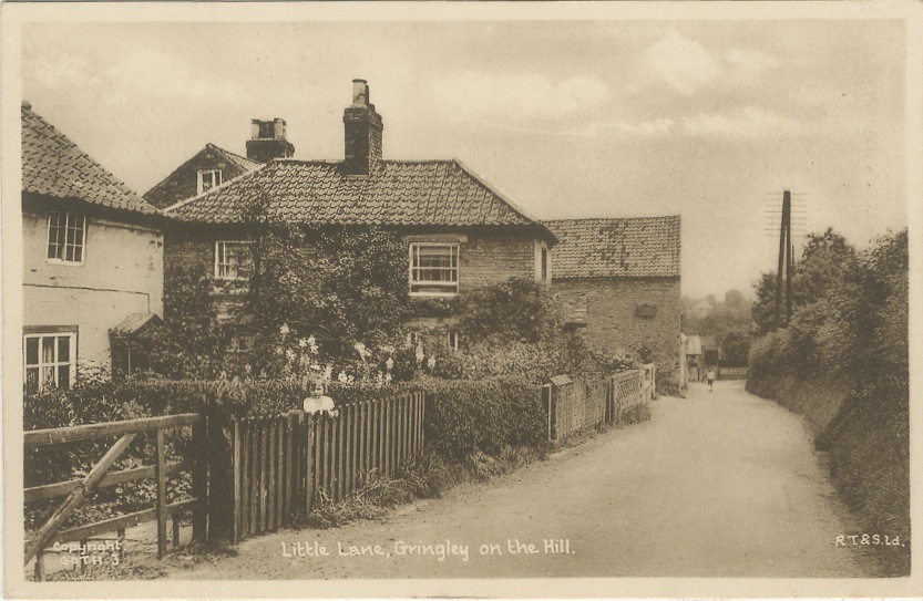
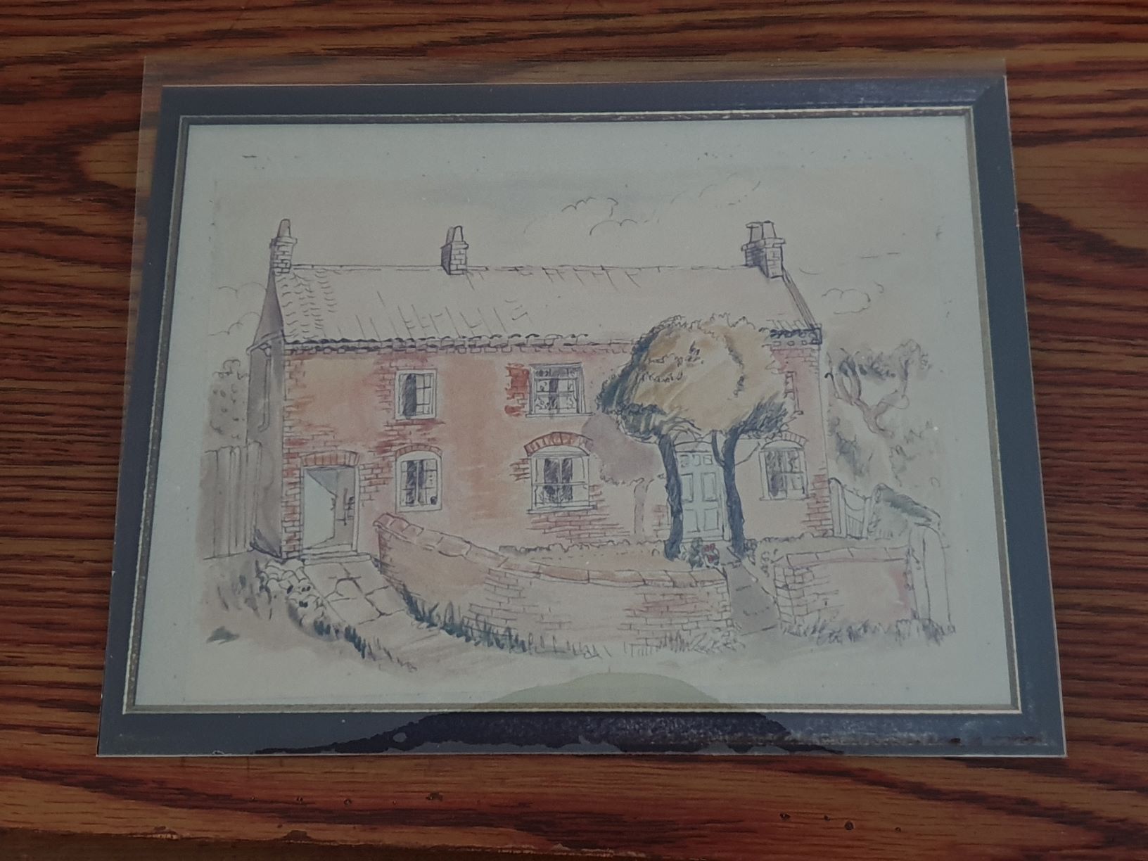
LITTLE LANE
'Ashers Farm', on the corner of Little Lane/Horsewells Street
Formerly Little Garth, now renamed Pear Tree Cottage - the converted barns are now a separate property named The Barns (2020)
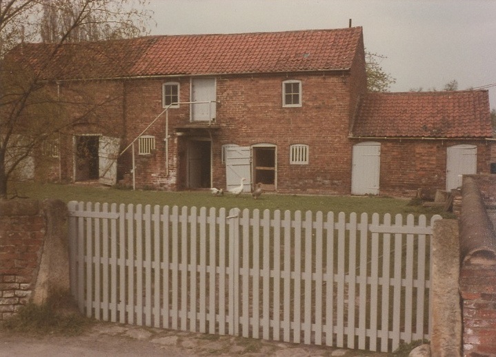
The Barns, formerly part of Ashers Farm, Little Lane
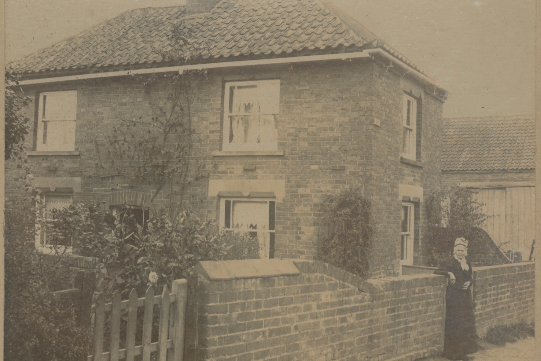
Jasmine Cottage 1910?
Jasmine Cottage, 2020
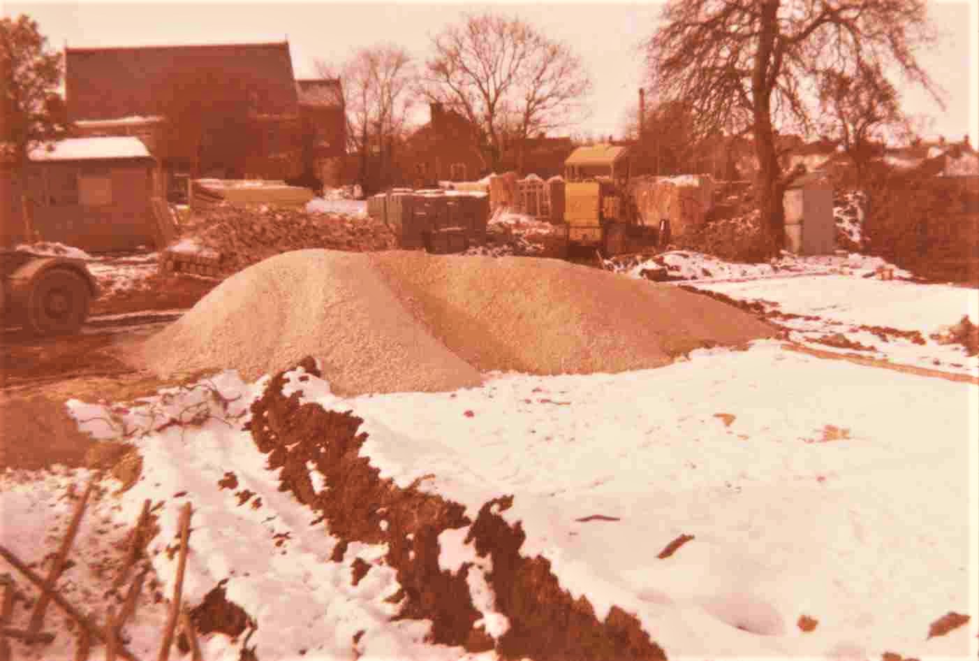
BEECH CLOSE, LITTLE LANE
Beech Close is named after Edgar Beech whose farm once stood on the site and was called Orchard House Farm. Thank you to Alana Parker who sent a picture of great grandfather's farm.
Orchard Close Farm, Little Lane - Beech Close now stands on this site
More information on the Beech Family can be found in 'Articles'
Development of Beech Close (formerly Orchard Close Farm)
FINKELL STREET
 Sunnybank 1980s (now Sunnybank Cottage)
Sunnybank
The older lady in the door is Rose Lindley, on her husband's death she remarried, becoming Rose Campian. The girl in the doorway is Rose's granddaughter, Winifred Spencer. Her married name is Winifred Leaning. Winifred was born and lived at Dunstan Farm. Winifred is again featured in photographs with wartime evacuees walking down Finkle Street. (See 'Gringley at War' for more information on evacuees)
Thanks to Peter Beresford for this information.
 Sunnybank Cottage, April 2021
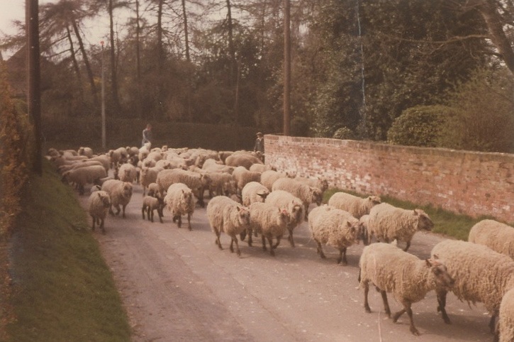
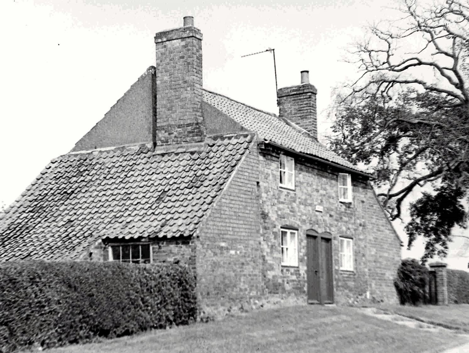
Sheep on Finkell Street
Courtesy of Michael Needham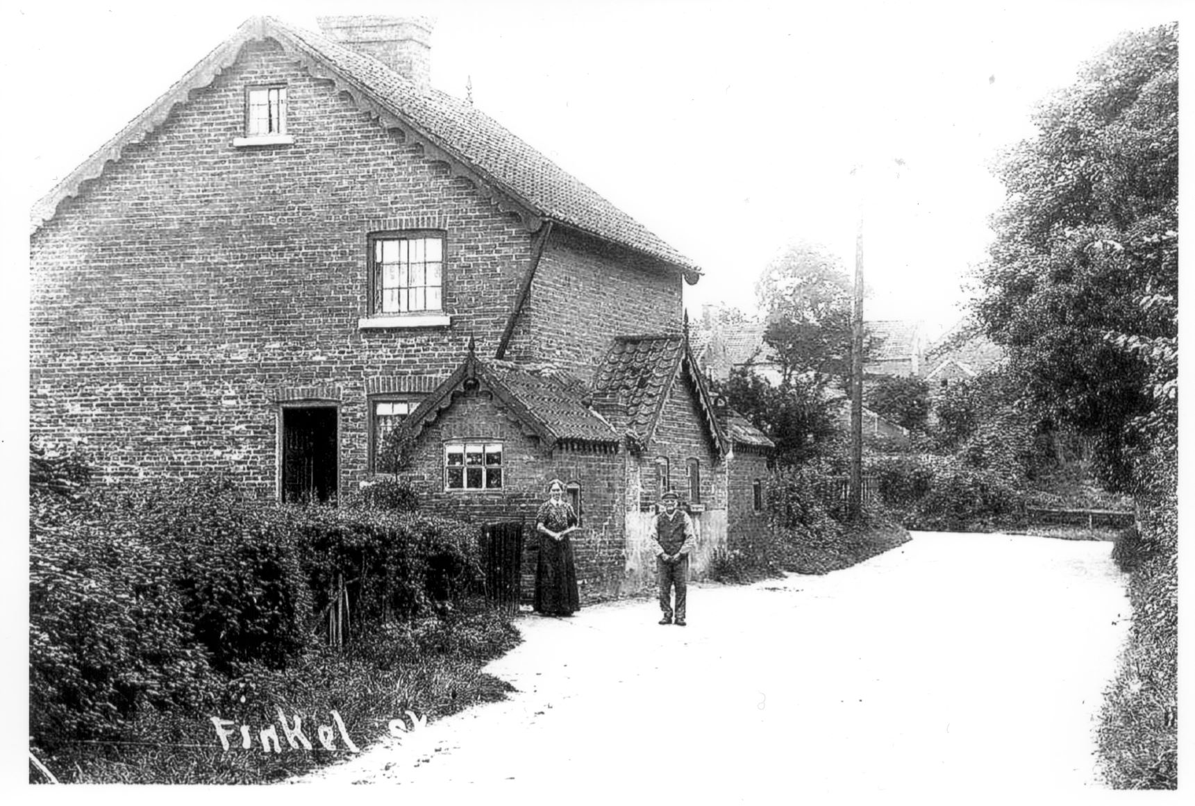 ? 1 and 2 Finkell Street (corner of Finkell Street/Horswells Street)
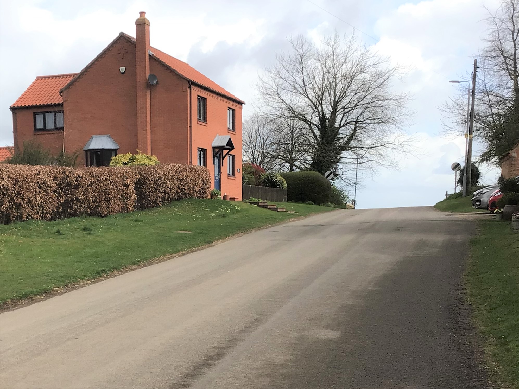
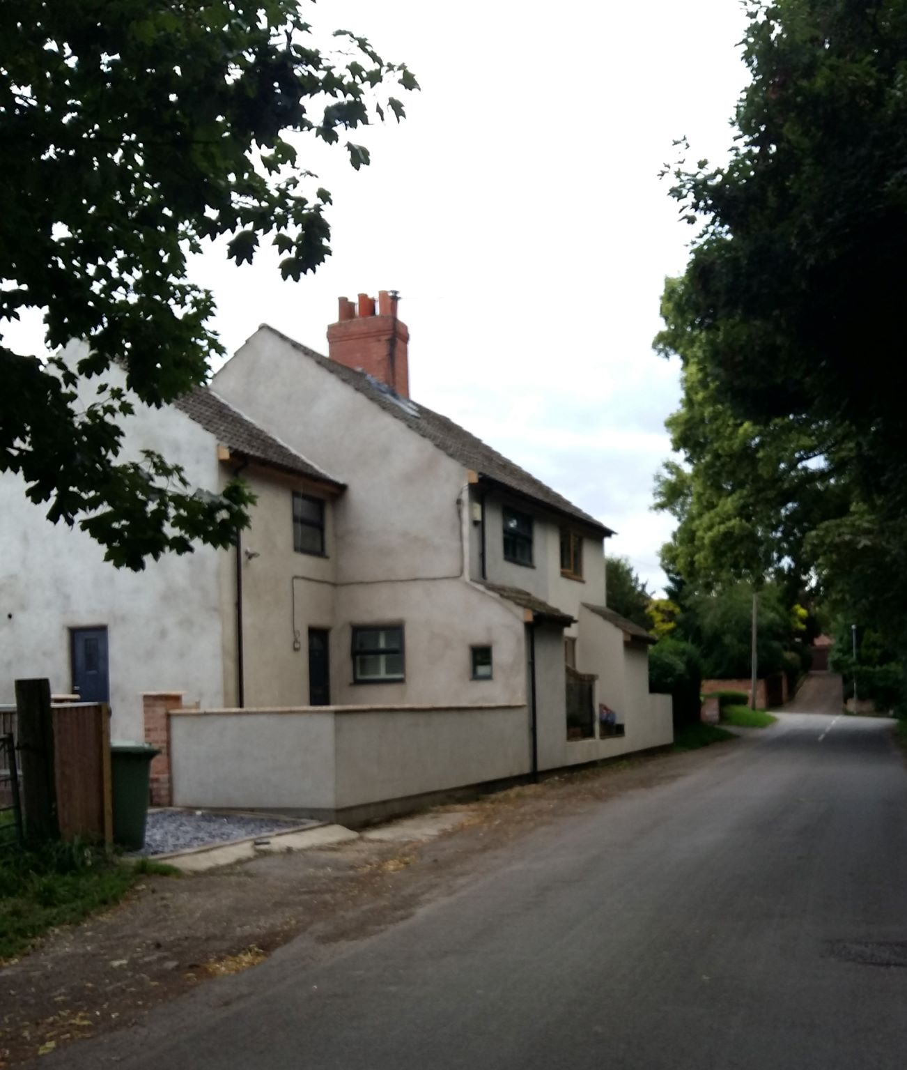 Finkell Street, 2020
Appleton House Farm to the left of the photo
Courtesy of Michael Needham
1937
PITT LANE
The photograph above shows Walkers Farm at the end of Pitt Lane
The farm house with building and farm yard ran down the left hand side of Pitt Lane
(thanks to Philip Hardy for this info)
The gentleman to the left in the photo is Phil Hardy's grand-dad
Thanks again to the Hardy family for sharing this photo and to Peter Beresford for forwarding it to us
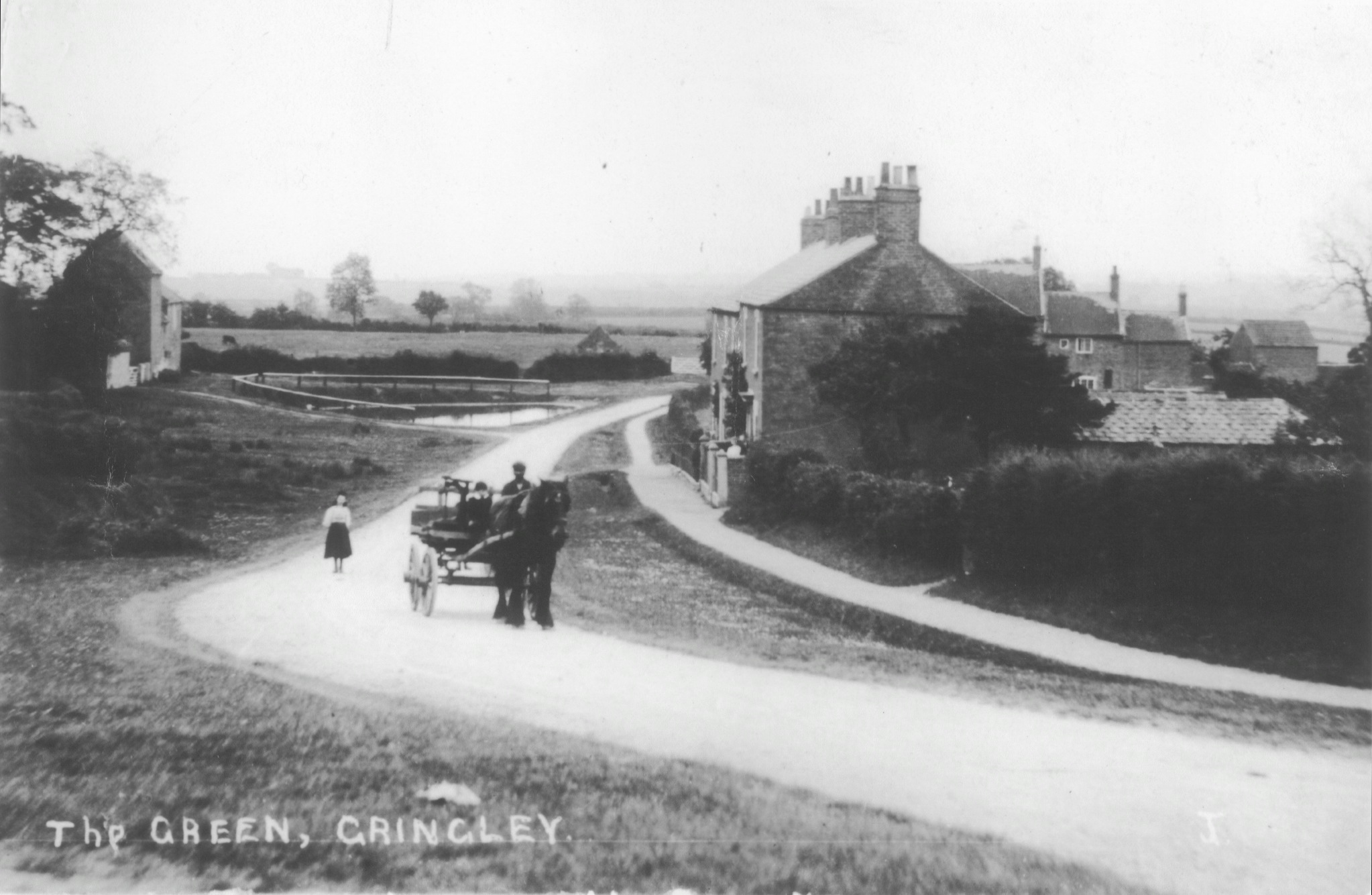
THE GREEN
Work began on the by-pass in the early 1930s. It was completed by 1939/1940. During the war years only one half of the dual carriageway was opened. One side of the road was used for storing tanks. Prior to the by-pass being completed the route from Bawtry to Gainsborough would have taken travellers along Gringley High Street.
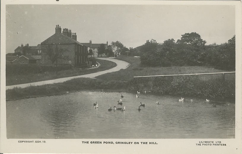
Fields and pond where the dual carriageway now runs. View from the Beacon towards Clayworth
The Green before the dual carriageway was constructed. Beacon Hill seen in the background to the right of the photo
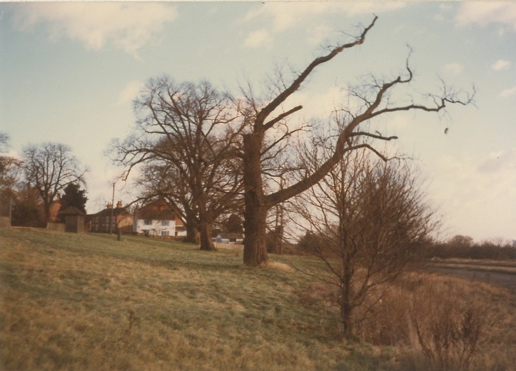
THE FAIRPIECE
The Fairpiece is the piece of land opposite Gringley Hall. It is common land and has been used for centuries by the village. It was depleted in size when the dual carriageway was constructed in the 1930s. In the past an Annual Fair was held here on the 13th December for the trading of sheep, cattle, boots, cloth and blankets. A Hiring Fair for the employment of servants was held on 1st November. Horse trading also went on here.
A press clipping of 1833 reports that the fair, “which was most particularly known for the sale of horned cattle and shoes was thinly attended” with “the times being so altered as to render the latter vendors’ attendance almost useless”. This raises two questions – why was Gringley so renowned for its shoe trade (and this reputation is reinforced by other sources), and why did folk suddenly stop buying them??
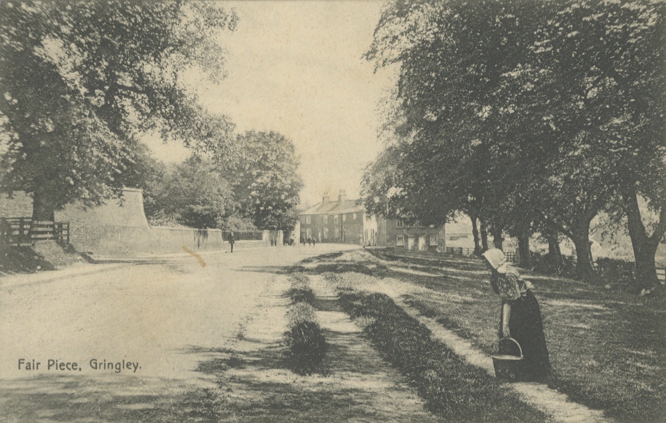
The Fairpiece before 1918
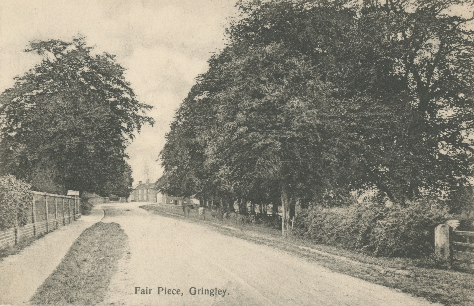
You can just see the cows grazing under the trees on the right!

The initials on the gable end of the house just visible, reportedly G B - 'George Banks', farmer, Directory,1844
The Fairpiece and the new by-pass to the right of the photo
MIDDLEBRIDGE ROAD
Middlebridge Road is sometimes referred to in old documents as Low Street.
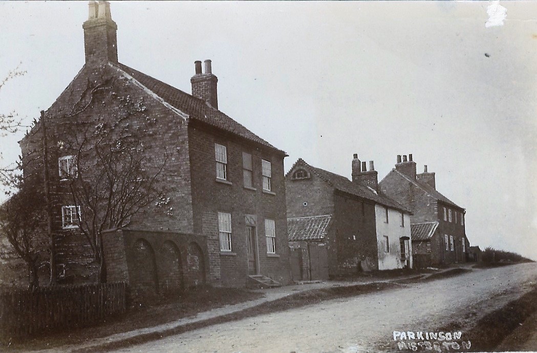
Harwell House (left of photo), 1907

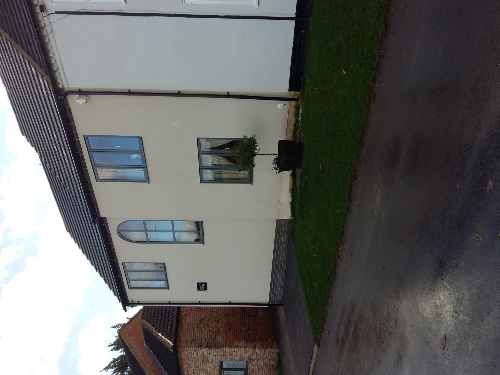
Shamrock Cottage C2019
Shamrock Cottage C2022, with extension
Harwell House, left of photo. Shamrock Cottage and Hillside Cottage to right, 2020
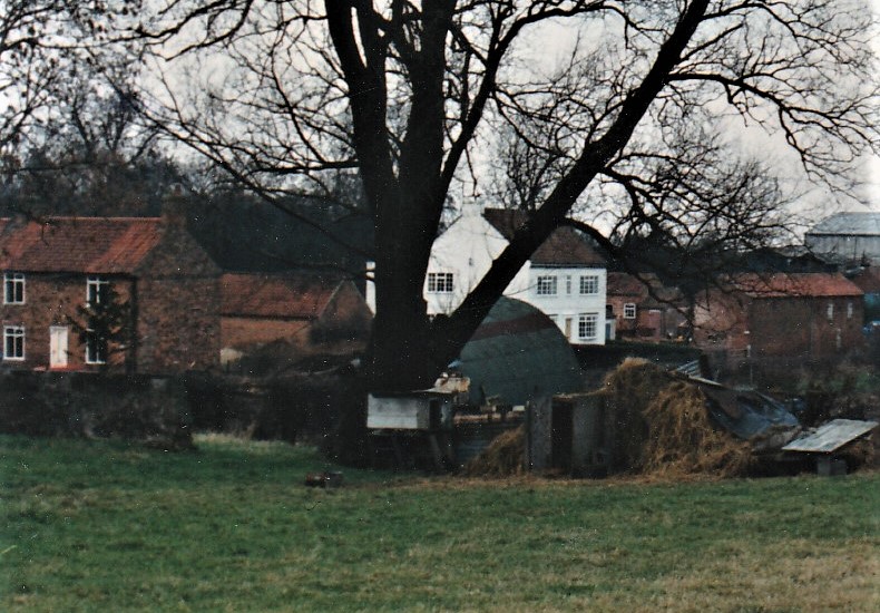
c1986/7 Cairnhope, centre, with its outbuildings just visible to the right.
The outbuildings were sold separately and developed, now Hazel Cottage.
To the left of the photo is Valley Farm, (with white door), before demolition and rebuilding
 C1986. Cairnhope outbuildings and yard, now Hazel Cottage
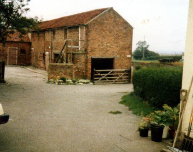
Hardtofts
House and outbuildings sometime late 1970s/1980 prior to demolition and subsequent rebuilding
WEST WELLS LANE
These houses in West Wells Lane were built for use of staff working at the Detention Centre.
West Wells Lane, C1970
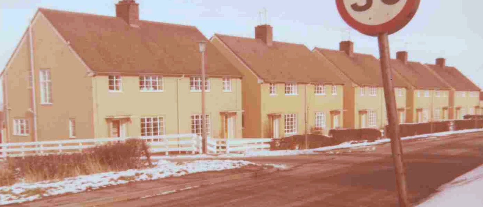
Laycock Avenue
Building commenced in Laycock Avenue under the Housing Act of 1936. 20 houses were built initially, 2 further homes were built in 1943 and 14 more in 1946. Hunters Drive was developed in 1961 with the construction of 8 bungalows, followed by 6, 2 bedroom bungalows in Windsor Close.
The Laycock family of Wiseton Hall maintained a strong connection with Gringley. Sir Joseph Laycock founded the hospital at Gringley Hall. His son Robert Laycock was an important military figure.

Laycock Avenue
Thanks to David Wagstaff for this photo
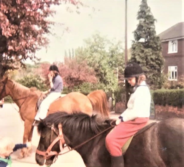
Laycock Avenue and cherry blossom trees C1980??
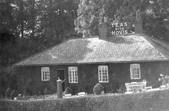
ROSE COTTAGE TEA ROOM
Rose CottageTea Room was situated just outside Gringley on the right hand side, going towards Everton. The property is set back from the dual carriageway and difficult to see now but it would have been right on the old road. Now called Rose Cottage, it is a residential property. Rose Cottage Tea Room closed in 1941.

Pre 1905. (Note the old road running right outside the property prior to the construction of the dual cariageway)
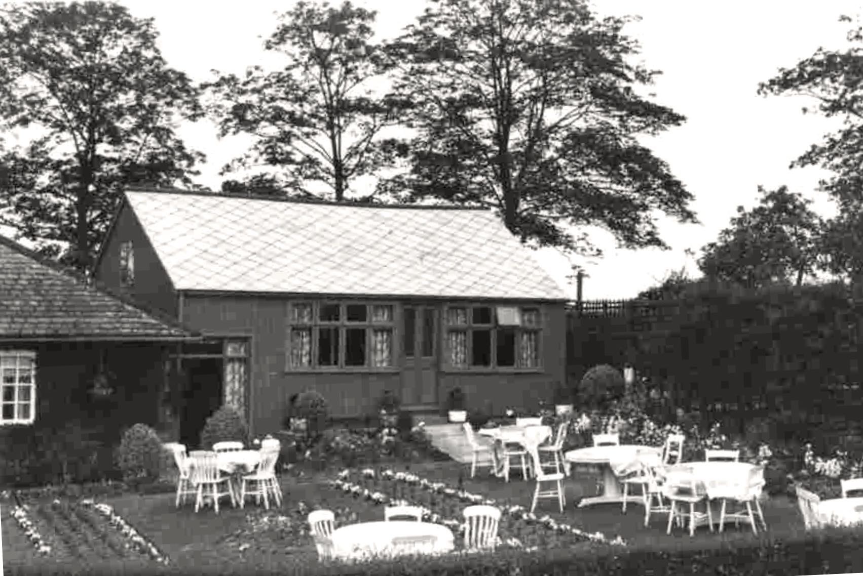
C1930. Gringley Tea Room
C1930
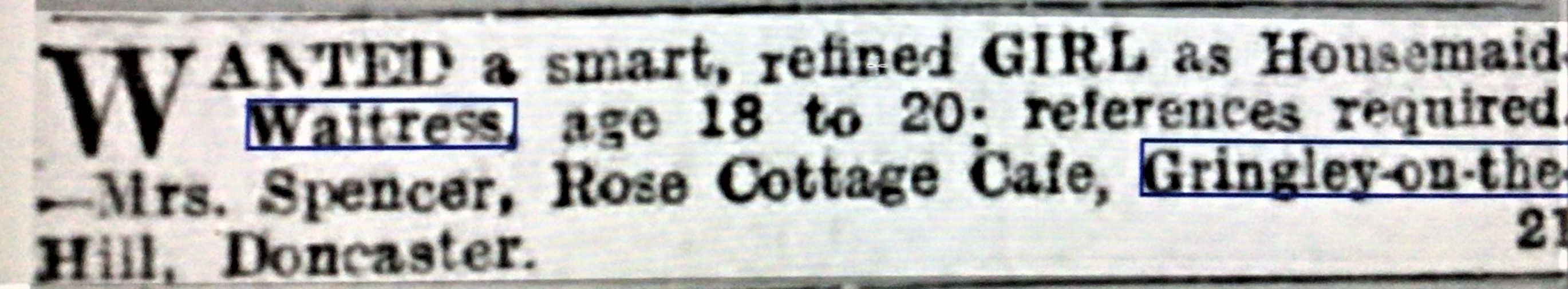
Sheffield Independent, Thursday 19th March 1931
Advert for staff at Rose Cottage Cafe