The Chesterfield Canal
The Chesterfield Canal was built between 1771 and 1777 to connect Chesterfield to the River Trent. Barges primarily carried lead from Derbyshire as well as coal, corn, timber, ironstone and earthenware. Stone was quarried near Worksop and carried by barge along the Chesterfield Canal for building the Houses of Parliament.
The canal first reaches Gringley at Top Lock which was supervised for 34 years by William Antcliffe, a well known figure who lived beside the canal at the lock-keepers cottage.

Top Lock 1909

Top Lock 1980s
Derelict Cottage on Wood Lane
The remains of a cottage stands on Wood Lane by Top Lock. The photograph below was taken about 1970. Nothing much remains of the building now.
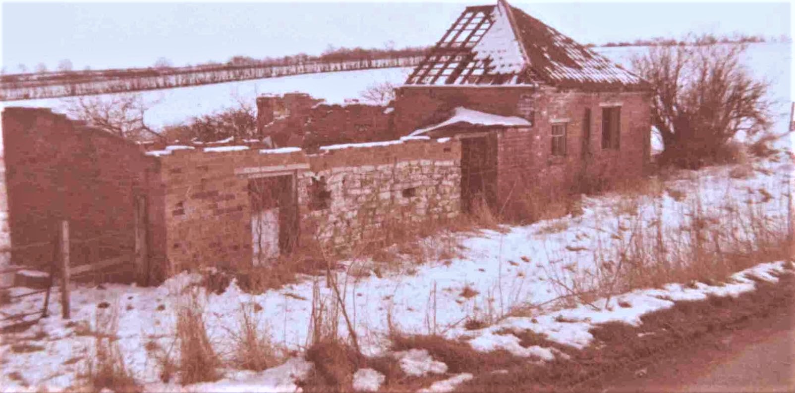
Cottage on Wood Lane, Top Lock, c1970
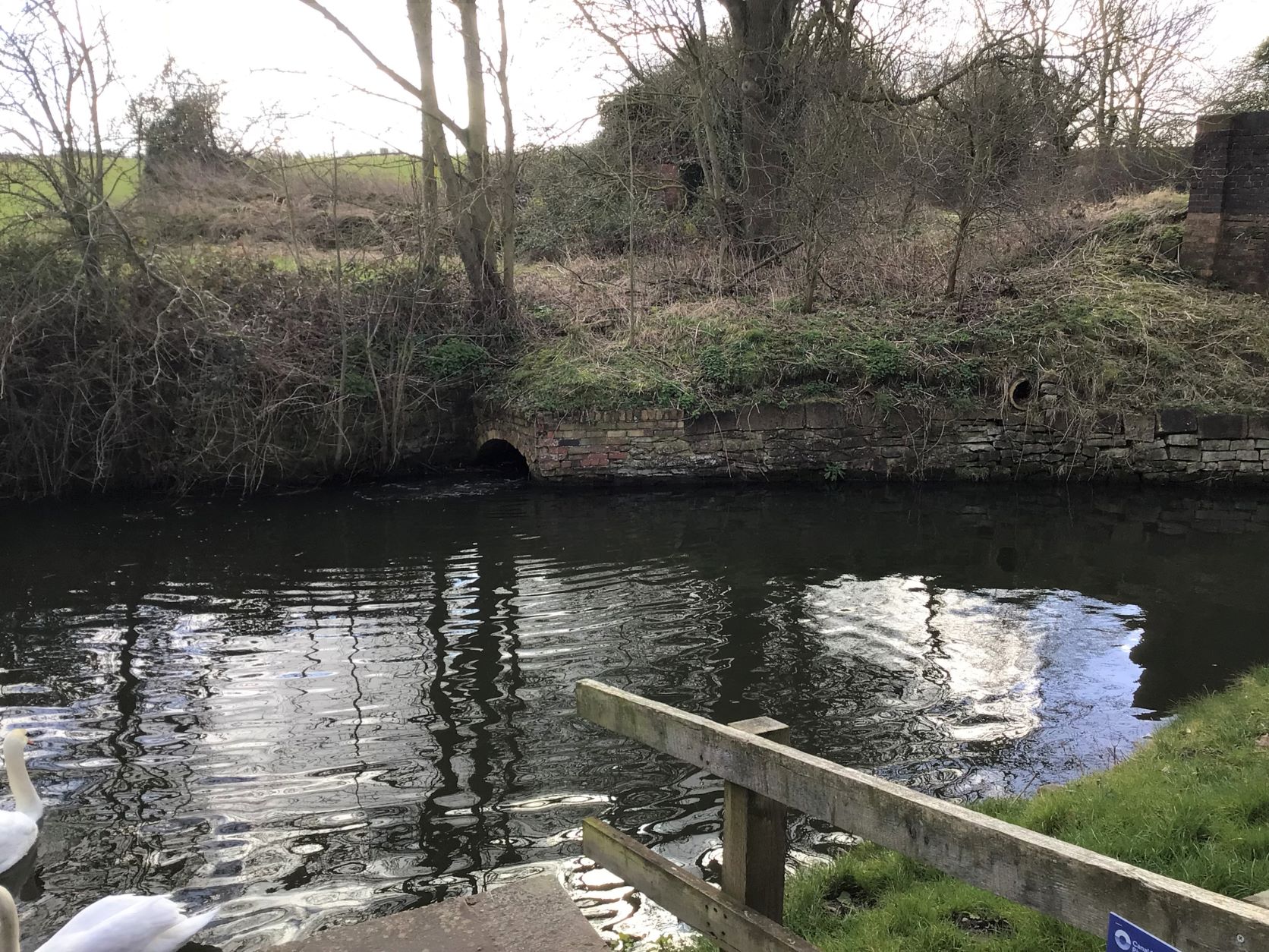 Cottage on Wood Lane, Top Lock, 2022 viewed from the canal bank

Top Lock Cottage viewed from the canal bank 2022
The canal flows under the bridge (Hewitts Bridge) at Top Lock and then onwards to Middlebridge

1934
Farm buildings and jetty with boat to the right
View from the bridge at Top Lock looking towards Middlebridge
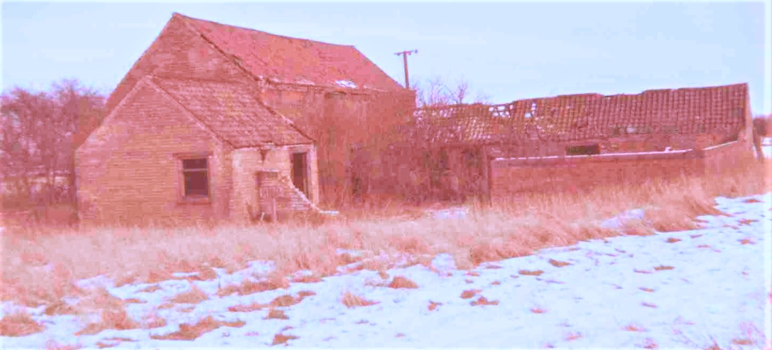 The photo above shows the remains of the farm buildings in the 1934 picture above
2020
Similar view as the photograph taken in 1934.
The jetty is just visible on the right hand side of the canal by the trees and the remains of
a wall are all that is visble now.
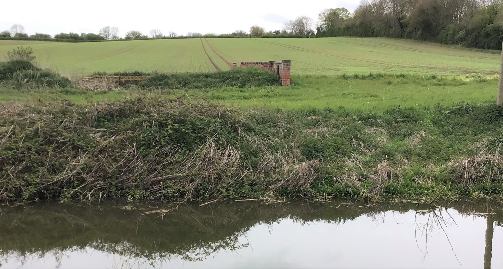
2022
Remaining wall and jetty area

1929
Looking towards Middlebridge in the distance
In this photo we can again see the buildings and walls on the left of the canal path - all demolished now.
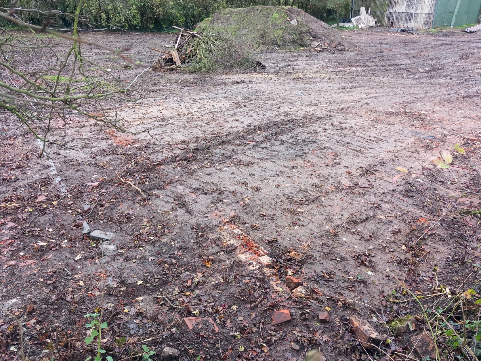
In 2022, the land to the left of the canal where buildings once stood was cleared. It is thought that amongst other buildings, there was once a pub on this site. In the photograph below it is possible to see the outline of a building - possibly the pub.
At Middlebridge we can see the partly restored Gringley Wharf, two working boats were based here. Coal was delivered to the wharf by barge and taken up to the village by cart.
Volunteers and architects uncovered the remains of stable walls and a brick floor, along with remains of the limestone floor over the rest of the wharf area. Finds dating from the late C18th were uncovered here. The original wharf and stable surface appear on maps from 1890 and 1948.

Site of old Gringley Wharf - the picnic area follows the floor plan of the original wharf and stable

Map of the wharf area in 1921

Middlebridge Farm (Courtesy of Michael Needham)
Onwards from Middlebridge - the next lock is Gringley Low Lock, or Shaw Lock as it is known today. Just to the left before the bridge is reached we can see the remains of the old brickyard belonging to Hill Brothers. This brickyard was still thriving in 1880.
2020 Brickworks
Shaw Lock was rebuilt in 1830. The canal passes two more brickworks, skirts Walkeringham and passes through Misterton before joining the River Trent. Commercial traffic ended in the 1950s.
D


